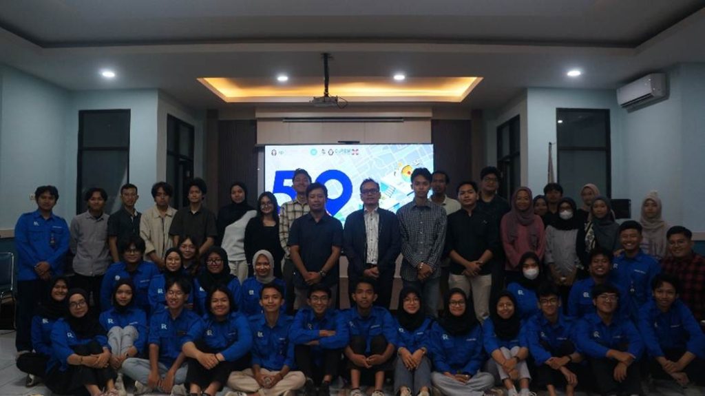
REGISFEST 2025 has once again been successfully organized by UKMF REGISTER, Faculty of Fisheries and Marine Science, Diponegoro University. As an annual flagship event, REGISFEST serves as a platform for students, academics, and professionals to deepen their knowledge and application of geospatial technology across various fields.
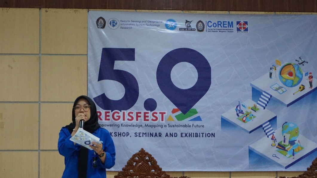
Carrying the spirit of “Empowering Spatial Intelligence for a Sustainable Future,” REGISFEST 2025 featured three main activities: the National Seminar, the Geospatial Workshop, and REGION (REGISTER Exhibition), held on October 4–5, 2025.
National Seminar (4 October 2025): Exploring Perspectives from Geospatial Experts
The national seminar opened the series of REGISFEST 2025 events, featuring inspiring speakers from leading geospatial institutions, including:
- Dr. Agustan (Chairperson, Indonesian Society for Remote Sensing (MAPIN/ISRS)
- Prof. Dr. Wikanti Asriningrum, M.Si. (BRIN)
- Faik Sofyan, S.Si. (PT. Waindo SpecTerra)
- Yanuar Adji Nugroho, S.Si., M.Eng. (ESRI Indonesia)
- Perdana Rian Juniarta, S.T. (PT. Waindo SpecTerra)
The seminar highlighted the use of geospatial and digital remote sensing technologies to monitor, analyze, and manage environmental changes accurately and sustainably. Innovations such as Digital Twin, UAV LiDAR, and high-resolution satellite imagery were emphasized as crucial tools supporting conservation, disaster mitigation, and sustainable development for both coastal and terrestrial environments.
The seminar was attended by more than 200 participants, including members of the Faculty Student Senate. Topics explored ranged from advances in remote sensing, GIS applications for environmental governance, to innovations in spatial data for sustainable development.
REGION (REGISTER Exhibition) – Map Exhibition (4 October 2025): Student Spatial Visualization Showcase
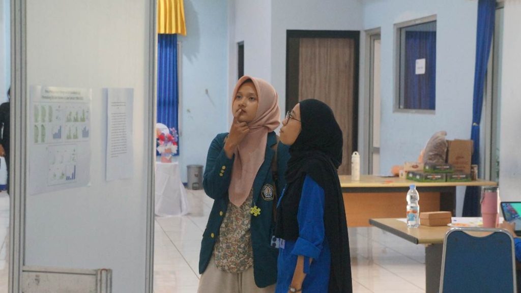
On the same day, REGION (REGISTER Exhibition) also became one of the highlights of REGISFEST 2025. REGION served as a map exhibition showcasing 25 maps produced through research, spatial analysis, and geospatial data processing.
This exhibition provided a platform for students and the public to present spatial data in an informative and aesthetically compelling way. Through REGION, visitors were invited to see how maps function not only as visual displays, but also as scientific communication tools essential for data-driven decision-making.
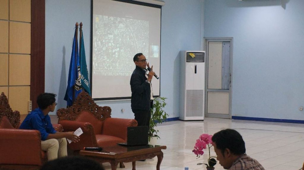
Workshop (5 October 2025): Hands-On Learning with Experts
Concluding the event series, the Geospatial Workshop was held on 5 October 2025, presented by Danang Santoso, S.T. from PT. Waindo SpecTerra. Attended by 37 participants, the workshop focused on “Basic LiDAR and Raw LiDAR Data Processing Stages.”
Participants had the opportunity to practice spatial data processing, digital map analysis, and thematic mapping techniques relevant to industry needs. This workshop not only enhanced students’ technical skills but also provided real-world insights into the professional applications of geospatial technology.
Through its three main activities the Seminar, REGION, and Workshop, REGISFEST 2025 successfully became a hub of collaboration and inspiration for all participants. The event underscored the essential role of students in advancing spatial literacy, strengthening competencies in GIS and remote sensing, and encouraging innovation driven by geospatial technology for a sustainable future. With a spirit of exploration and collaboration, REGISFEST 2025 once again proved that REGISTER UNDIP is not only focused on theoretical mastery, but is also committed to making meaningful contributions to the development of science and technology, particularly in the field of geospatial studies.